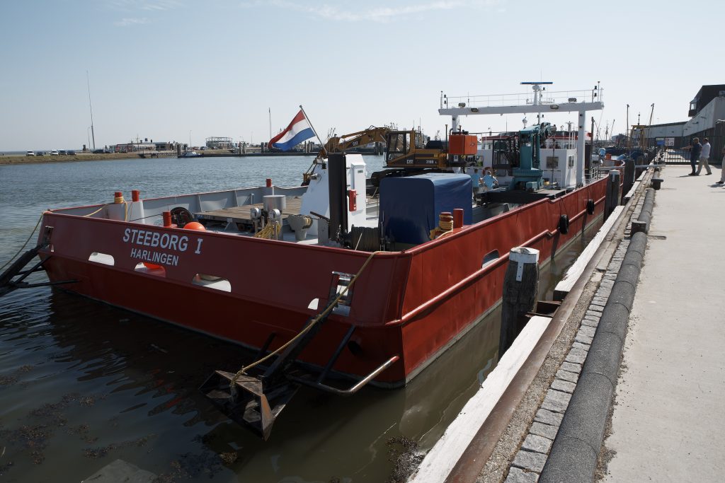
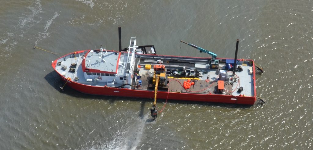
A special request for an interesting Viking installation came to us from old friends in the maritime industry. A newly sparked idea they had been working on rapidly turned into a vessel with an excavator, special dredging, and survey equipment.
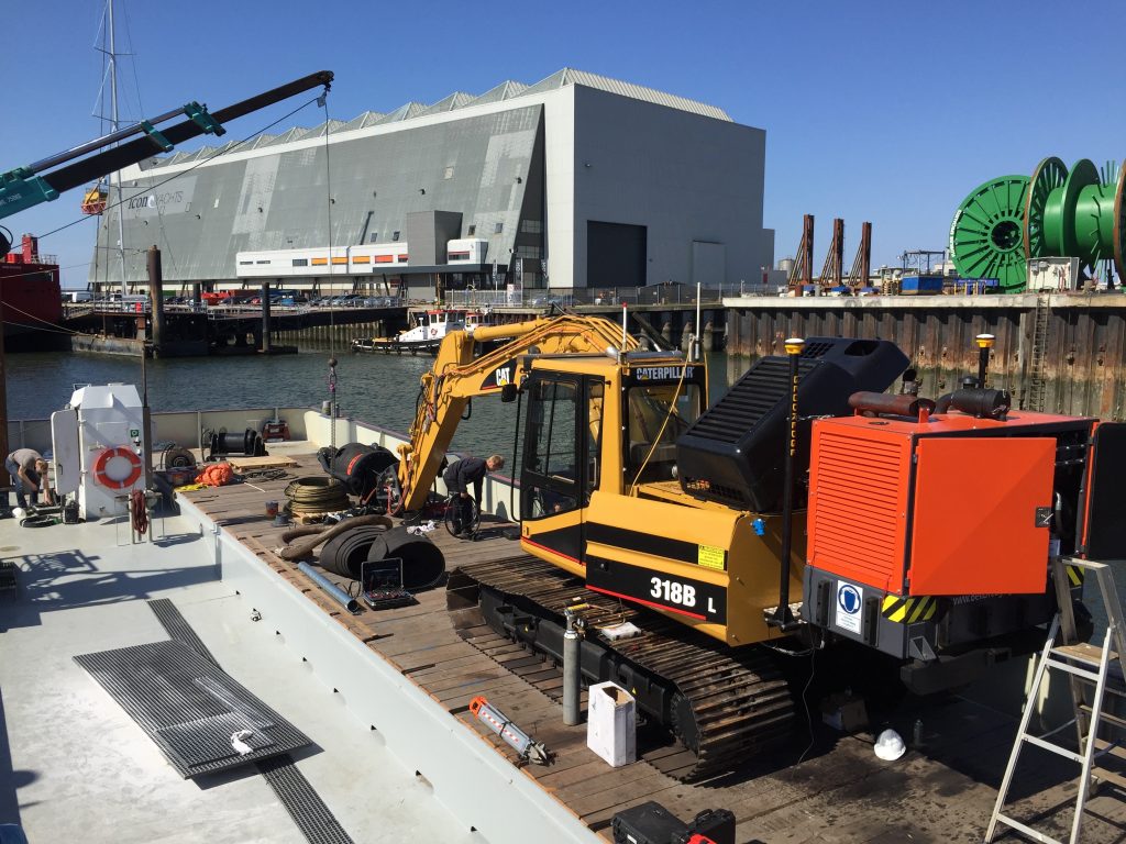
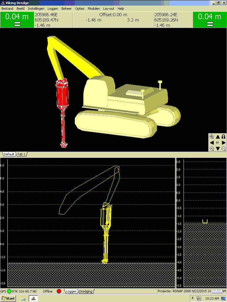
A 19” rack mounted installation with our GeoGNSS receiver combined with Viking Dredge Pro and a multitude of industrial 22” LCD’s make up the installation on the vessels itself. On the deck an excavator is equipped with a GeoDredge RTK system, powered by Viking Dredge. An imaging sonar fixed on the dredge tool provides realtime information of the dredging process.
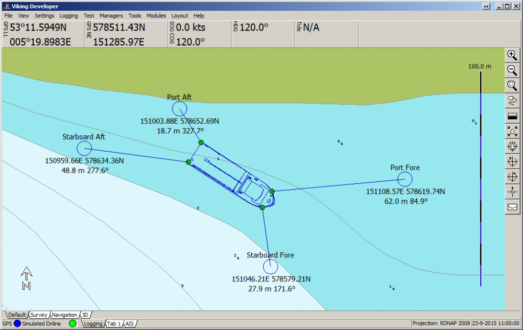
Both systems are connected wirelessly using industrial WiFi and the Viking Networking Module. Also connected is a separate RTK land survey system which shares its position information with the Viking system on the bridge. The land survey RTK, imaging sonar, and the excavator feed all information directly into the vessels Viking network, enabling an overview on the bridge and in the clients office.