Skip to content
+31 227 591 295
De Wieken 6, 1777 HT Hippolytushoef
Search
News
Projects
Products
Rental
Support
About
Partners
Contact
News
Projects
Products
Rental
Support
About
Partners
Contact
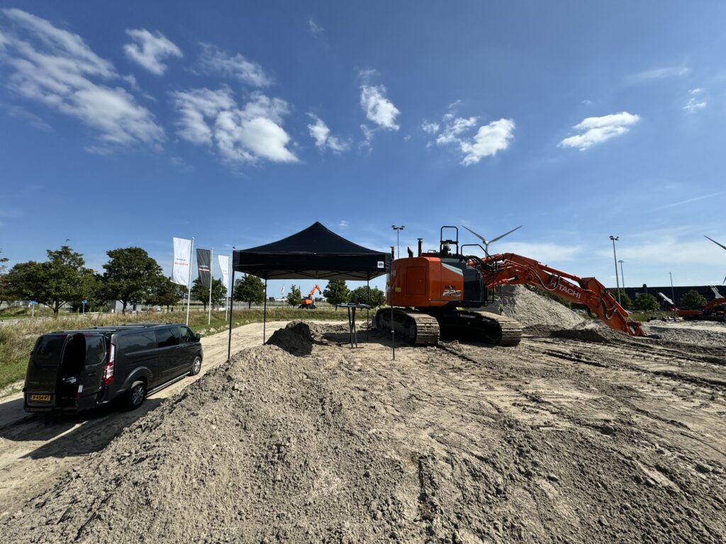
Viking Software Updates Trails on Excavator
Post navigation
←
Previous Portfolio Post
Next Portfolio Post
→